What's In It For Our Community
Published on 11 August 2022
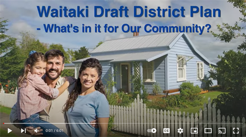
Wondering how the Draft District Plan will change our community life in Waitaki.
How are you protected from noise or glare from your neighbors, how are we looking after our old buildings, what's happening to our coastline, sea level rise and erosion and will we have more flooding and must move? Keep reading to learn more.
I am worried about the noise or glare from my neighbours. What protects me from this?
We have rules for noise limits which are generally lower than what is in the current plan.
There are also rules to manage noise and vibration from temporary activities such as construction. In all parts of the district, standards would apply to outdoor artificial light to regulate brightness, light spill, and glare. Lighting that does not meet the standards would require a resource consent.
Several light-sensitive environments have been identified where additional controls would protect these areas from artificial sky glow. This includes places such Omarama and Ohau Village.
How are we looking after our old buildings?
The importance of heritage is retained and strengthened in our draft plan. We have over 30% more heritage items listed, many at the request of owners. A heritage area overlay is also identified for the coherent historic streetscape in Oamaru.
Obviously, consent would be triggered for the demolition or relocation of a listed heritage item. There are also rules for any new permanent building within the setting of an historic heritage item. Internal alterations of listed heritage items will now only require consent if affecting heritage fabric.
Ōamaru’s Historic Area located south of Coquet Street and east of Severn Street, down to Wansbeck Street will continue to require a resource consent if activities which could potentially damage the heritage values of the exterior of an item, building or structure. This includes things like additions. The rules for demolition of a character contributing building have been strengthened.
What’s happening with our coastline, sea level rise and erosion?
Coastal natural hazards are influenced by climate change, which is expected to increase the severity of coastal natural hazards.
The Coastal Inundation Hazard Areas and Coastal Erosion Hazard Overlays incorporate climate change predictions.
Further built development along the coastline can increase the community’s vulnerability to tsunami hazards and there are some low-lying parts of the district that are more exposed to this.
Both the coastal erosion and inundation areas have been mapped, so check it out if you live near the sea.
Will we get more flooding and have to move?
Over the last few years, we have experienced plenty of flood events, so yes, there will potentially be more flooding.
We haven’t identified areas of housing that will have to move as a result of this, but there will be isolated pockets that might be more at risk. If you’ve got wet feet before or are near a waterway, then check out the maps and see if your property is affected.
Have we got it right? Let us know. Feedback closes 31 August 2022.